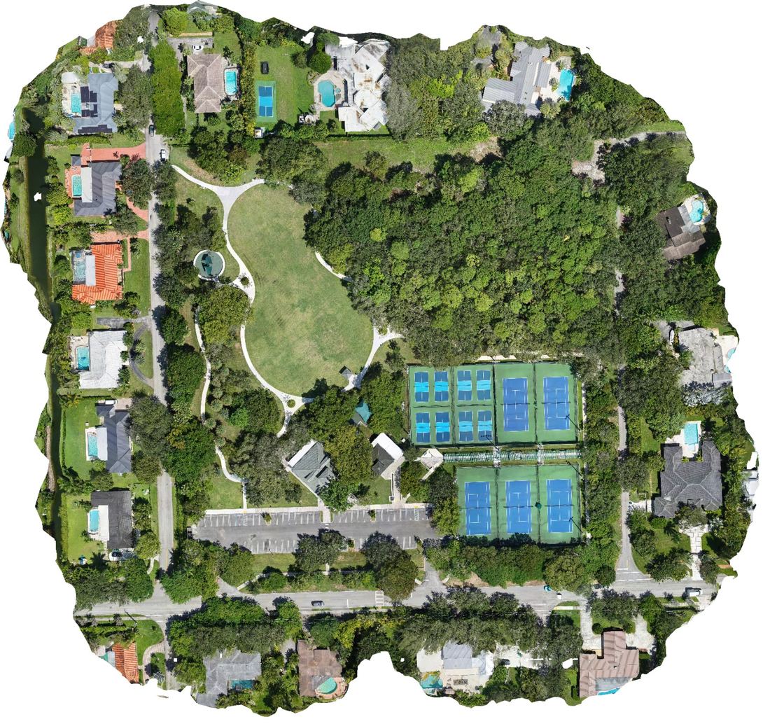
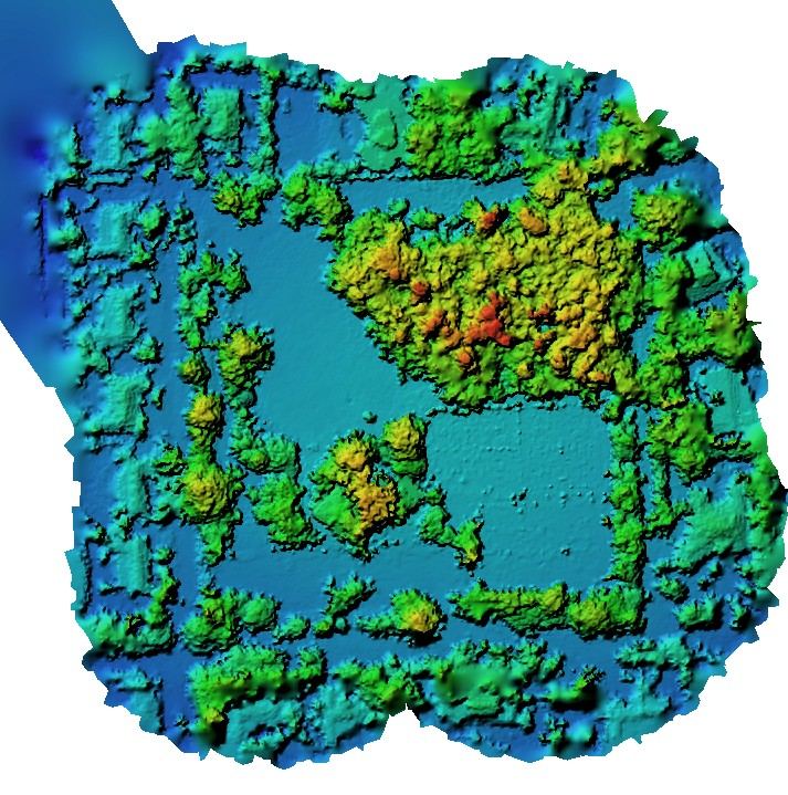
Matterport: LiDAR real + HDR en cada toma Matterport: true LiDAR + HDR in every shot
Usamos la cámara Matterport Pro3, que combina un sensor LiDAR real con fotografía HDR de alta resolución. En cada posición de escaneo, el equipo captura simultáneamente la forma tridimensional del espacio y una panorámica de 134.2 megapíxeles, construyendo un gemelo digital fiel del lugar. We use the Matterport Pro3 camera, which combines true LiDAR sensing with high-resolution HDR photography. At every scan position, the camera simultaneously captures the space's three-dimensional shape and a 134.2-megapixel panorama, building an accurate digital twin of the space.
Captura in situOn-site capture
El equipo se coloca cada pocos pies dentro del espacio y captura una toma de 360° en cada posición. Un espacio de aproximadamente 2,000 pies² toma entre 1 y 2 horas; espacios más grandes escalan proporcionalmente. The camera is placed every few feet through the space and captures a 360° shot at each position. A space of roughly 2,000 sq ft takes 1–2 hours; larger spaces scale proportionally.
Ensamblado en la nubeCloud assembly
Cada toma se combina con las demás para construir el modelo 3D completo del espacio. El procesamiento suele completarse entre 24 y 48 horas después del escaneo. Every shot is stitched together to build the space's complete 3D model. Processing is typically completed within 24–48 hours after the scan.
±0.8 pulgadas a 33 pies±0.8 inches at 33 feet
Precisión más que suficiente para planificación de espacios, documentación y marketing — aunque no sustituye un levantamiento topográfico de nivel constructivo. Accuracy more than sufficient for space planning, documentation, and marketing — though it isn't a substitute for construction-grade surveying.
Qué recibesWhat you receive
Tour virtual navegable, plano de piso generado automáticamente, nube de puntos compatible con BIM, y herramientas de medición integradas. A navigable virtual tour, an automatically generated floor plan, a BIM-compatible point cloud, and built-in measurement tools.
Qué incluye tu escaneoWhat's included in your scan
IncluidoIncludedTour Virtual 3D3D Virtual Tour
El recorrido navegable e interactivo del espacio completo, listo para compartir por link o embeber en tu sitio o listado. The full interactive, navigable walkthrough of the space, ready to share by link or embed on your site or listing.
Plano de Piso (Schematic Floor Plan)Schematic Floor Plan
Plano 2D limpio, con etiquetas de habitación, dimensiones y área total — el formato estándar que usan los listados inmobiliarios. A clean 2D plan with room labels, dimensions, and total area — the standard format used in real estate listings.
EJEMPLO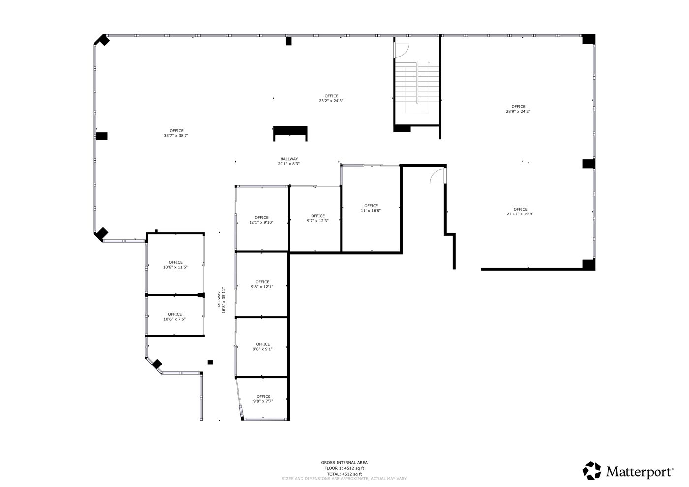
Servicios adicionales — bajo pedidoAdditional services — on request
Costo adicionalExtra costE57 File
Nube de puntos registrada en formato estándar de la industria (ASTM E2807), compatible con AutoCAD, Revit, Civil 3D y otros — ideal para comparar lo construido contra el diseño original. Registered point cloud data in an industry-standard format (ASTM E2807), compatible with AutoCAD, Revit, Civil 3D, and others — ideal for checking as-built conditions against the original design.
MatterPak™
Paquete de datos 3D para AEC: nube de puntos coloreada, malla 3D con texturas, plano de techo reflejado y plano de piso en alta resolución — compatible con 3ds Max, ReCap, Revit y AutoCAD. 3D data assets for AEC: colorized point cloud, textured 3D mesh, reflected ceiling plan, and high-resolution floor plan — compatible with 3ds Max, ReCap, Revit, and AutoCAD.
Archivo CADCAD File
Planos CAD generados automáticamente a partir de la nube de puntos — documentación "as-built" lista para tus flujos de diseño, sin dibujo manual. CAD drawings generated automatically from the point cloud — as-built documentation ready for your design workflow, no manual drafting required.